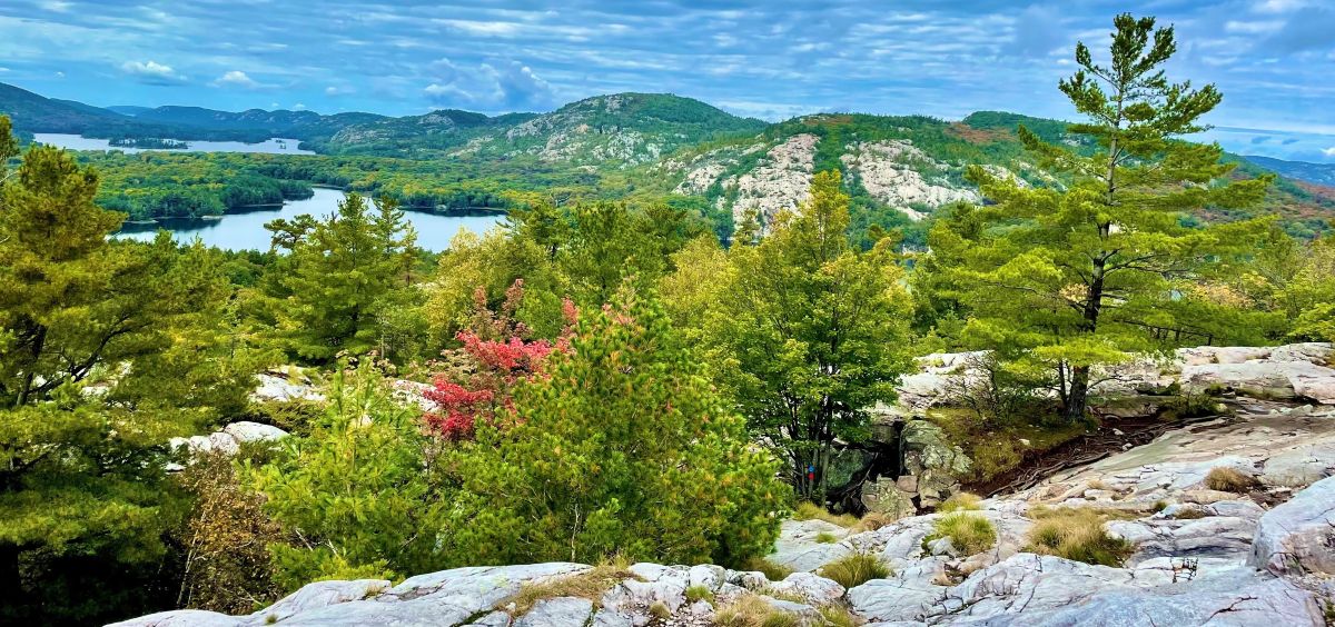
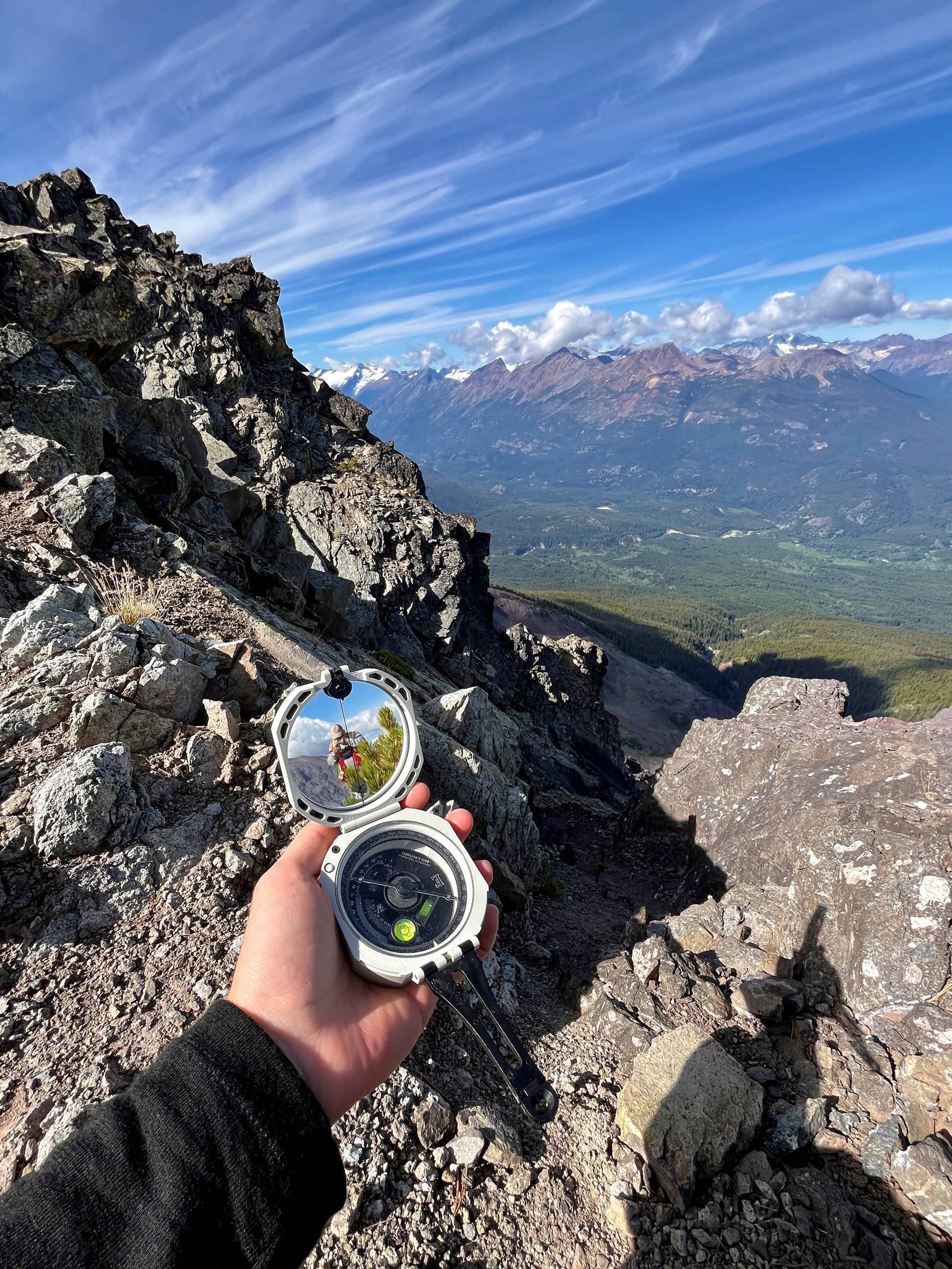
Chilcotin Region, BC
When prospecting on an early exploration project in the Chilcotin region of British Columbia, I took out my Brunton to take a structural measurement. In the compass mirror, I noticed my colleague examining a rock sample. This photo represents a moment of reflection, both literally and figuratively. Working in such an incredible landscape reinforced to me how geoscientists can shape society’s interactions with the Earth. Geoscience isn’t just about rocks, but also responsibility. Although I was taking a single measurement, its impact could extend far beyond my compass and the outcrop. In the end, we are mapping the future of how the Earth’s resources are understood, managed, and protected.
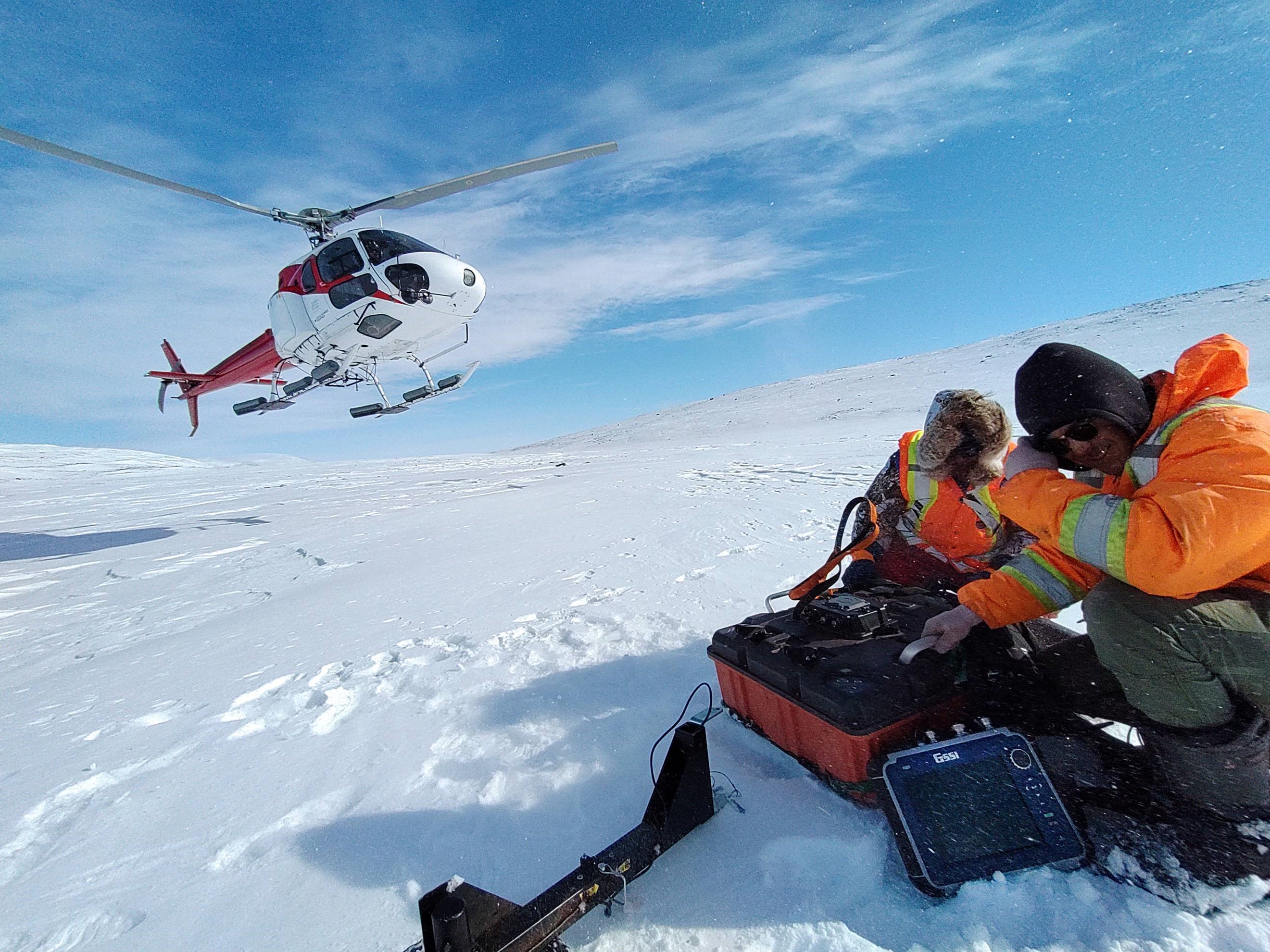
Baffin Island, Nunavut
The purpose of the survey was to identify and delineate underground ice bodies along a proposed railroad alignment using the GPR technology.
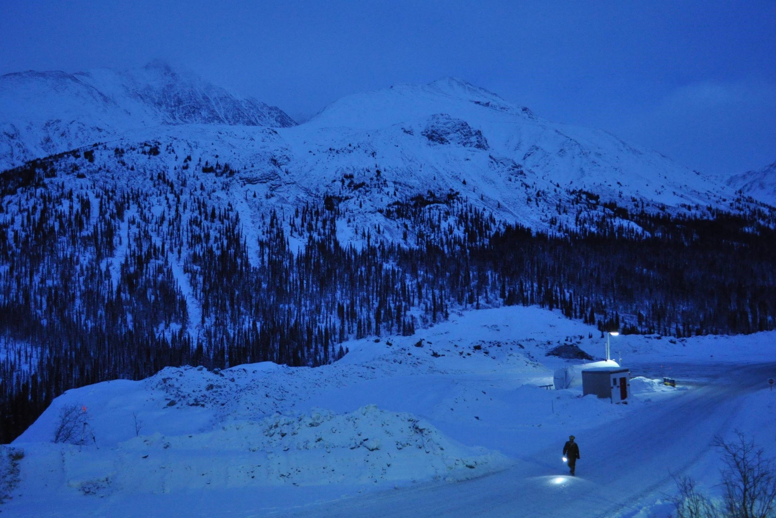
"After a long day"
Cantung Mine, NWT, Canada
The blue hour, looking from the warmth of the geology office to a lonely miner returning to the office.